Our Projects

At M&S Group, we provide precision aerial mapping, 360° site documentation, and expert surveying solutions for construction and land development projects across Ontario. Our advanced drone technology and DroneDeploy ensure high-accuracy results, including 3D models, orthomosaic maps, and georeferenced site documentation. With seamless integration into AutoCAD and Civil 3D, we help optimize project planning and execution. Trusted by industry leaders like Amazon and Ledcor, we deliver reliable solutions that enhance project efficiency and decision-making.

Amazon Warehouse Ajax

Aerial view of Amazon warehose made by M&S Group Mapping and Surveying of a large construction site with heavy machinery and vehicles, including excavators and trucks, working on land preparation and foundation building.

Amazon Warehouse Ajax (Before)

Aerial view of Amazon warehose facility photo taken by M&S Group Mapping and Surveying with drone.

Amazon Warehouse Ajax (After)

Amazon Warehouse Whitby

Aerial view of a large construction site with excavation equipment, vehicles, building foundations, and surrounding fields. Photo taken with a drone by M&S Group Mapping and Surveying.

Amazon Warehouse Whitby (Before)

Aerial view of a large industrial warehouse with surrounding parking lots and landscaped areas, situated in a rural area with fields and roads nearby. Photo taken with a drone by M&S Group Mapping and Surveying.

Amazon Warehouse Whitby (After)

Lakeshore East Corridor Expansion

Construction site beside a train track with an excavator moving soil, adjacent to a passing train on a raised platform. Photo taken with a drone by M&S Group Mapping and Surveying.

Lakeshore East Corridor Expansion (Before)

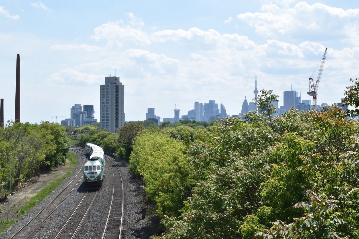
Train on railway surrounded by greenery, leading towards city skyline with tall buildings and blue sky.

Lakeshore East Corridor Expansion (After)