

Transforming your business with drone-based solutions
Who we are
At M&S Group, we offer expert topography, mapping, and 360° site documentation services tailored for construction and land development projects in Toronto and across Ontario, Canada. Leveraging the latest technology like DroneDeploy, we import, process, and analyze data to provide high-precision results for effective project planning and execution. Our team specializes in seamless integration with AutoCAD and Civil 3D, ensuring accurate design workflows and optimal project outcomes.
Trust M&S Group for reliable, cutting-edge solutions that help bring your vision to life.

Leverage cutting-edge technology for highly accurate topographic surveys, fast 3D reconstruction, and precise volumetric estimations. Our advanced multispectral imagery captures real-time data 3x faster, offering 99.3% accuracy in topographic surveys, 4x faster 3D reconstruction, and 97.6% accuracy in volumetric estimations. Benefit from detailed site planning, precise measurements, and comprehensive plant health analysis, all powered by our high-speed data capture solutions.
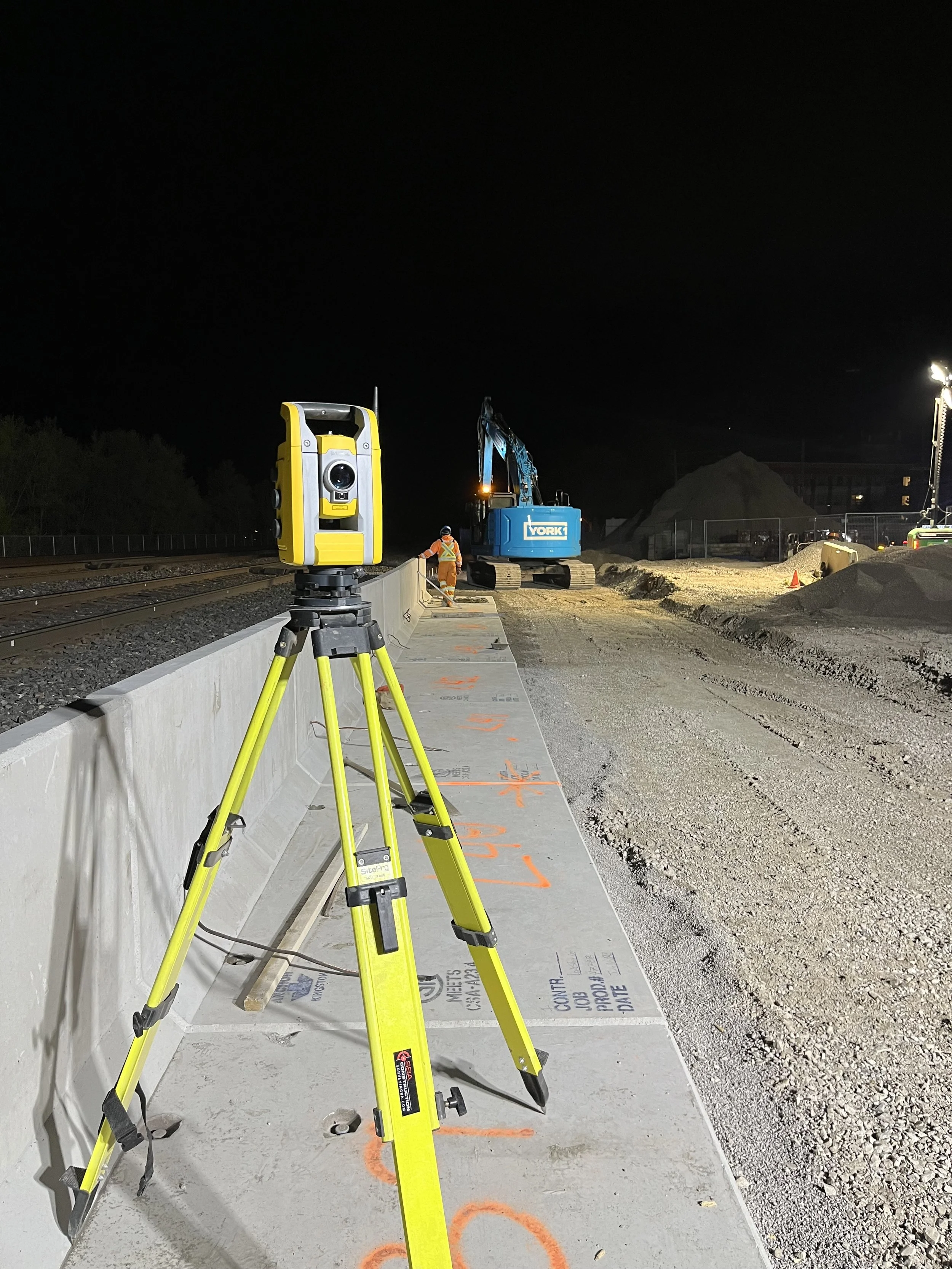
Topographic Surveying
• Our comprehensive topographic surveying services include precise site layouts, detailed topographic mapping, and infrastructure location, ensuring accurate data for your construction and land development projects.
• Our expert team delivers accurate site measurements and terrain modeling to support engineering, construction, and urban planning.
• Using advanced surveying equipment, including AutoCAD and Civil 3D software, we provide high-precision topographic survey results to streamline project planning and execution.

AutoCAD & Civil 3D Integration
• We offer detailed site layouts, grading plans, and construction blueprints using industry-leading AutoCAD and Civil 3D software for accurate design and planning.
• Our expertise in earthwork modeling ensures precise engineering designs and efficient project coordination for construction, land development, and infrastructure projects.
• Through advanced CAD workflows, we help clients visualize site conditions, optimize land use, and enhance project execution, ensuring a smooth and successful project lifecycle.

High-Resolution & Aerial Mapping
• Using drones and DroneDeploy, we capture high-resolution imagery for detailed land assessment, site documentation, and aerial mapping services.
• Our aerial mapping solutions include orthomosaic maps, accurate 3D models, volume calculations, and detailed elevation models, providing comprehensive data for construction and land development projects.
• With precise site measurements and advanced mapping techniques, we support project planning, earthworks, and infrastructure development, ensuring accuracy and efficiency throughout the project lifecycle.

360° Site Documentation
• We use advanced 360-degree cameras mounted on helmets to capture real-time, immersive images and videos for comprehensive site documentation.
• This high-quality data is processed through DroneDeploy for efficient progress tracking, quality control, and remote inspections, ensuring accurate project oversight.
• Our immersive virtual walkthroughs allow project managers, engineers, and stakeholders to virtually explore the site from anywhere, enhancing collaboration and decision-making.
Our Services

High-Resolution
Aerial Mapping

360° Site Documentation

Topographic Surveying

AutoCAD & Civil 3D Integration
Previous Projects


Ready to Build?
We understand that significant time and effort have already gone into planning your project before our team arrives on-site.
Our approach remains focused on delivering exceptional results with professionalism, ensuring accuracy, quality, and safety are at the forefront of every phase of your project.
2766 Old Leslie Street
Toronto, ON, Canada.
Projects
Services
